Skip to content
0
Menu
IT BEGINS HERE
0
Cart
Search
Shop Land
About
What We Do
Our Company
Terms & Conditions
Privacy Policy
Testimonials
Contact Us
Call us at 360-545-3006
Join the VIP Buyers List
Close Menu
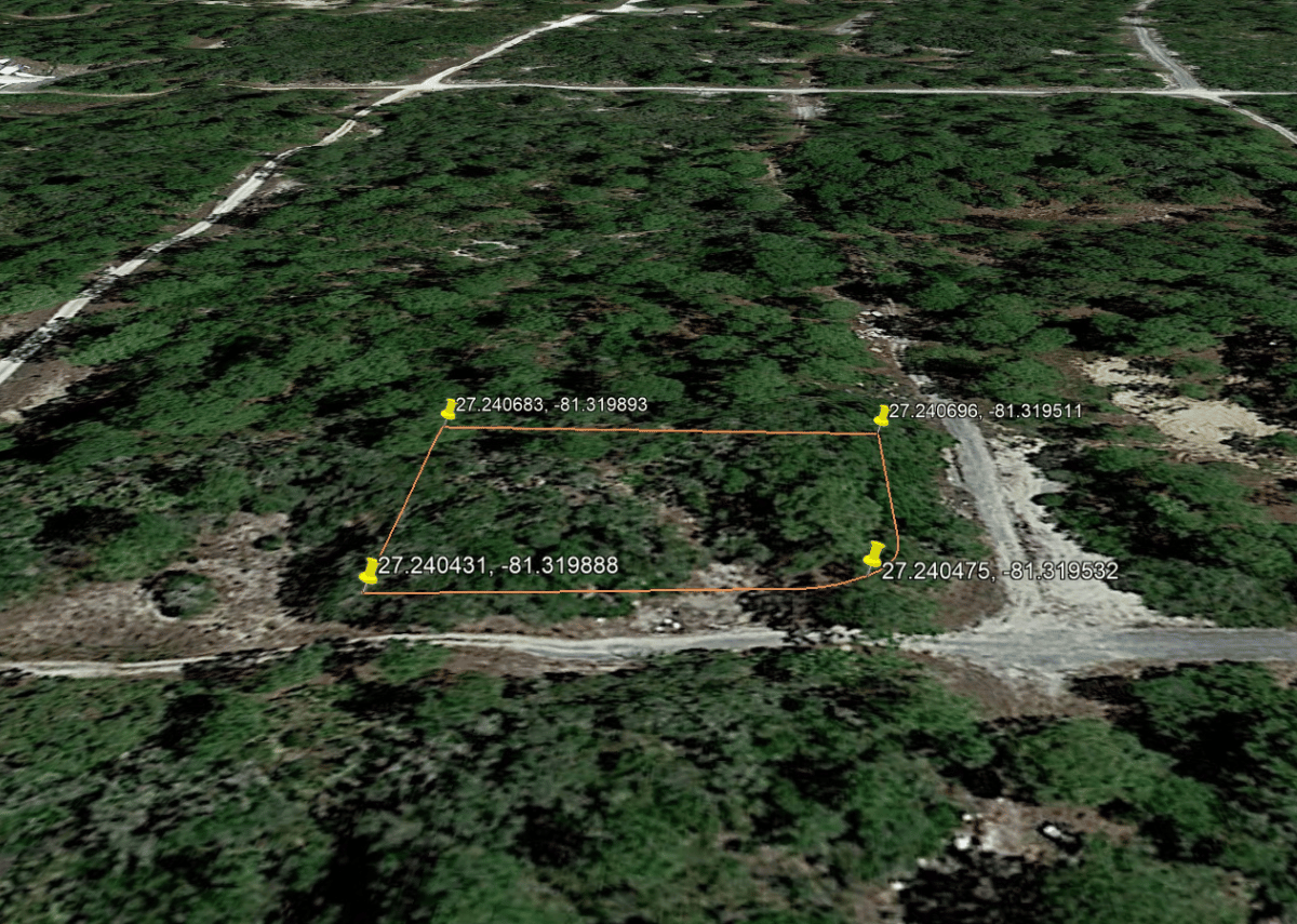
WIL1045 (12)